Geospatial Information & Services (GI&S)
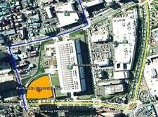
NAVFAC uses GI&S for planning, maintaining, operating, and protecting the Navy's shore installations. For instance, planners use GI&S to develop Land Use Plan maps. Planners overlay constraints features such as endangered species habitat areas, wetlands, and explosive safety quantity distance arcs together in GI&S to determine where to site facilities. To better maintain and operate our facilities, Engineers link work order requests to the facility footprints in the electronic map.
Geospatial data are fed to Computer Aided Dispatch systems to help Emergency Responders protect the Navy's facilities and personnel. NAVFAC uses modern techniques like GPS, high-resolution satellite imagery, LIDAR (LIght raDAR), and GIS (Geographic Information Systems) to collect its geospatial data and develop its electronic maps.
Download the GI&S Fact Sheet